Catalog Archive
Auction 104, Lot 568

"Carte Generale de la Chine Dressee sur les Cartes Particulieres Que l'Empereur Chang-Hi a fait lever sur les lieux…", Anville, Jean Baptiste Bourguignon d'
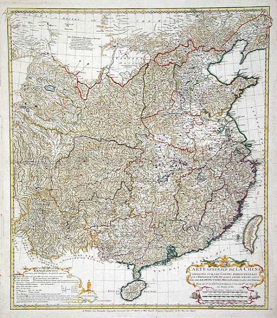
Subject: China

Period: 1816-24 (published)

Publication:

Color: Hand Color

Size:
20.5 x 23.6 inches
52.1 x 59.9 cm
Download High Resolution Image
(or just click on image to launch the Zoom viewer)

Large map showing the traditional limits of China, including Hainan and Formosa in the South, and Quantong and parts of the Gobi Desert in the North. As the title notes, the map draws from surveys undertaken in the period 1708-1716 by Jesuit missionaries on the instructions of the Emperor Kangxi. A copy of these surveys were sent back to Paris and the Royal cartographer D‘ Anville was commissioned to drawn this map, which was the first really reasonably accurate picture of that remote land This is a later issue, published by Dezauche.

References:

Condition: A

A few minor tears on edges.

Estimate: $500 - $600

Sold for: $375

Closed on 9/10/2003

Archived