Catalog Archive
Auction 104, Lot 547

"A New & Accurate Map of Persia with the adjacent Countries", Bowen, Emanuel
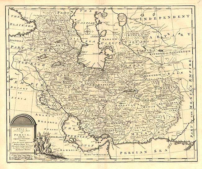
Subject: Persia

Period: 1747 (circa)

Publication:

Color: Black & White

Size:
16.7 x 13.6 inches
42.4 x 34.5 cm
Download High Resolution Image
(or just click on image to launch the Zoom viewer)

This fine map of the Persian Empire is packed with detail of the topography, cities, towns and roads. It covers the region from the Caucasus through present-day Afghanistan, Iraq and Iran. Decorated with a pictorial title cartouche and a small compass rose.

References:

Condition: A

Bottom fold separation, just touching neatline, closed with archival tape.

Estimate: $150 - $200

Sold for: $75

Closed on 9/10/2003

Archived