Catalog Archive
Auction 104, Lot 41

"Tabula Itineraria ex Illustri Peutingerorum Bibliotheca…", Jansson, Jan

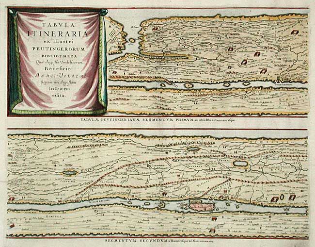
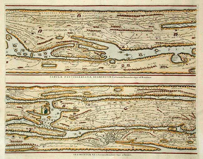
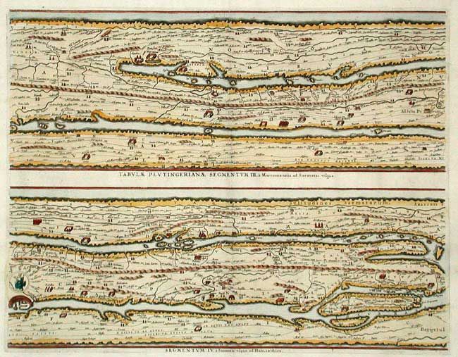
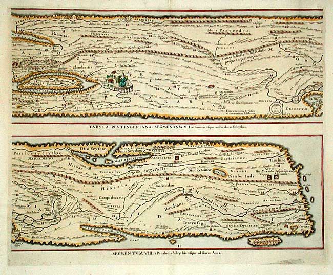
Subject: Ancient World

Period: 1652 (circa)

Publication:

Color: Hand Color

Size:
20.3 x 16.6 inches
51.6 x 42.2 cm
Download High Resolution Image
(or just click on image to launch the Zoom viewer)

Four sheets making up the famous Peutinger Table, or a Roman road map of the world. The original parchment document was found by Konrad Celtes in a library in Augsburg, came into the hands of Konrad Peutinger and later went to his relative Mark Welser who was the first to publish a copy of it in 1591 at Aldus Manutius in Venice. These maps, based on the original manuscript were first popularized by Ortelius in 1598 and became an important part of his great historical atlas. Jansson's version is nearly identical to that of Ortelius. These decorative maps, in a sequence of four plates, each with two strip maps, depict the imperial roads and posts within the Roman Empire throughout Europe, North Africa and Asia as far as Toprobana. German text on verso. Size given is for each plate.

References: Shirley #393.

Condition: A+

Clean and crisp with lovely later color.

Estimate: $2,100 - $2,300

Sold for: $1,600

Closed on 9/10/2003

Archived