Catalog Archive
Auction 104, Lot 364

"Europam sive Celticam Veterem. Sic Describere Conabar Abrahamus Ortelius", Jansson, Jan
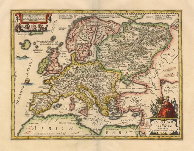
Subject: Europe

Period: 1657 (published)

Publication: Accuratissima Orbis Antiqui Delineatio

Color: Hand Color

Size:
18.6 x 14 inches
47.2 x 35.6 cm
Download High Resolution Image
(or just click on image to launch the Zoom viewer)

Splendid map of Europe in ancient times based on the Ortelius map of the same title. Title cartouche (which names Ortelius) is surmounted by a figure of Europa with flags, banners and a cornucopia. Several little cherubs cavorting with sea creatures surround the distance cartouche. The land is fully engraved with forests, mountains and rivers, and there are several ancient place names. A beautiful example of fine Dutch cartography.

References: Van der Krogt (Atlantes) 1000H:1A.

Condition: A+

Wide margins with professional repair of short split on fold.

Estimate: $500 - $600

Sold for: $450

Closed on 9/10/2003

Archived