Catalog Archive
Auction 104, Lot 320

"Carte Reduite des Mers du Nord comprise entre le 48…", Verdun de la Crenne

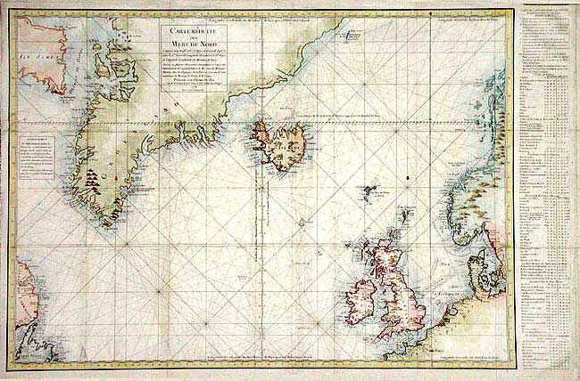
Subject: North Atlantic

Period: 1776 (dated)

Publication:

Color: Hand Color

Size:
35 x 22.5 inches
88.9 x 57.2 cm
Download High Resolution Image
(or just click on image to launch the Zoom viewer)

Large and finely engraved chart of the North Atlantic extending to include portions of coastal Labrador, Scandinavia, western Europe and the Baltic Sea with all of the British Isles, southern Greenland and all of Iceland. A handsome chart with rhumb lines, fleur-de-lis and multi-scale borders.

References:

Condition: A

Old repair of a split just entering map, soft fold and a few marginal flaws, but still very good.

Estimate: $550 - $650

Unsold

Closed on 9/10/2003

Archived