Catalog Archive
Auction 104, Lot 255

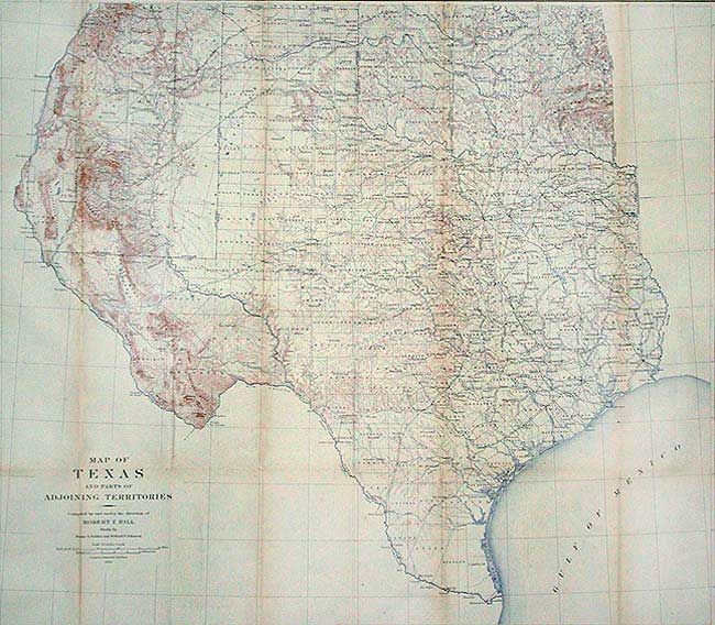
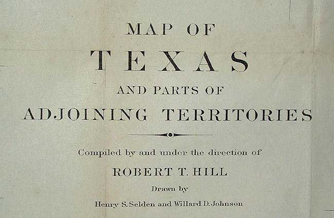
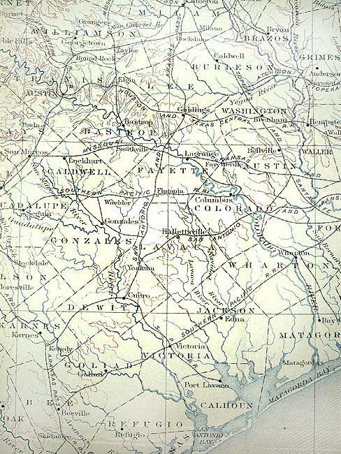
"Map of Texas and parts of Adjoining Territories", U.S. Geological Survey (USGS)

Subject: Texas

Period: 1899 (dated)

Publication: U.S. Geological Bulletin #190, Plate 1

Color: Printed Color

Size:
35.5 x 31 inches
90.2 x 78.7 cm
Download High Resolution Image
(or just click on image to launch the Zoom viewer)

A large and extremely detailed map of the state that includes all of New Mexico east of the Rio Grande and south of Taos. Details counties, county seats, railroads, topographical and watershed. This map by Robert T. Hill, a widely known scholar, teacher and geologist, brought new sophistication to Texas cartography and helped set new scientific standards for the region's cartography. It was also published in "Topographical Atlas of the U.S., Physical geography of the Texas Region."

References: Martin & Martin, plate 50.

Condition: A

Backed with archival tissue. A little toning and one short binding tear, closed on verso, still very good for a map of this size.

Estimate: $400 - $500

Sold for: $400

Closed on 9/10/2003

Archived