Catalog Archive
Auction 104, Lot 195

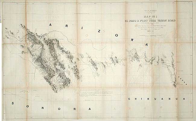
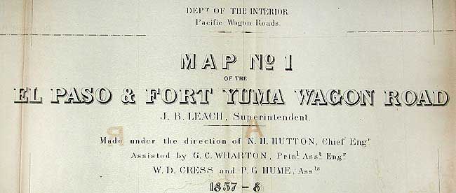
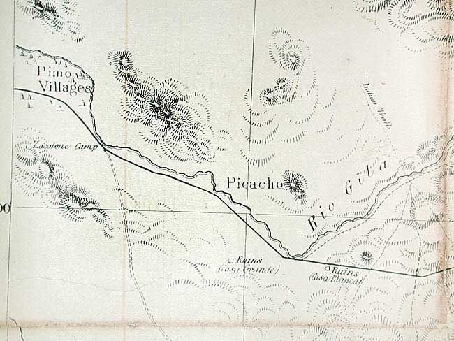
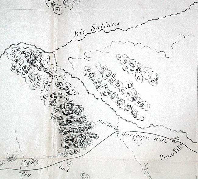
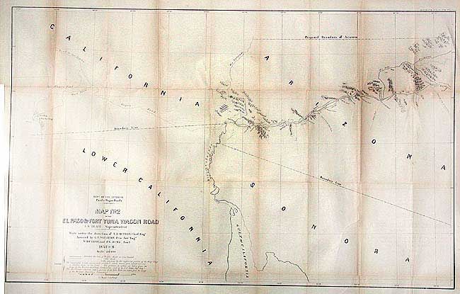
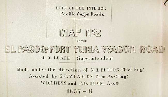
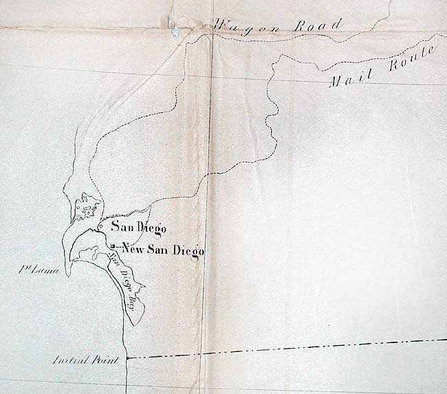
"[Pair] Dept. of the Interior: Pacific Wagon Roads. Map No. 1 of the El Paso & Fort Yuma Wagon Road, J.B Leach, Superintendent [together with] Map No. 2…", Leach, Capt. John

Subject: United States - Southwest

Period: 1857-58 (dated)

Publication: Sen. Ex. Doc. No. 36, 35th Cong 2nd Sess.

Color: Black & White

Size:
See Description
Download High Resolution Image
(or just click on image to launch the Zoom viewer)

Matching pair of maps issued as part of Campbell's "Wagon Roads… A Report Upon the Several Roads Constructed." Very detailed along the road with numerous notes. Shows line of the current Wagon Road, as well as the old road and routes of the exploring parties of Eng. Corps. Shows a very early boundary for the proposed and named territory of Arizona in the southern portion of New Mexico territory. This is the only U.S. Government published map we are aware of that shows the proposed boundary of Arizona in this configuration, all others being commercial. Locates and names springs, mail stations, forts, tanks, Indian villages, missions, and much topo info. The route from El Paso travels through Las Cruces, Cooke's Spring, El Piloneillo (near the current AZ/NM border), Parke's Railroad pass and north to the junction of the Salt, then northwest to Pima Villages (Phoenix). The route continues on map No. 2 from Maricopa Wells to the Foot of the Little Desert and on to the Colorado River and Fort Yuma. This is the end of the route but the mail and wagon road continues in skeleton form to San Diego and Los Angeles. No.1 measures 36.3 x 23.3", No. 2 is 35.3 x 22.8". Rarely offered as a pair.

References: Wheat (TMW) #981 & 982.

Condition: B

Backed with tissue. Tissue loose in a few spots, short split on one fold line. Toned along folds.

Estimate: $325 - $375

Sold for: $240

Closed on 9/10/2003

Archived