Catalog Archive
Auction 104, Lot 164

"[Lot of 3]", Various

Subject: United States

Period: 1870 (circa)

Publication:

Color:

Size:
See Description
Download High Resolution Image
(or just click on image to launch the Zoom viewer)
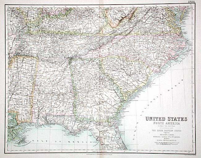
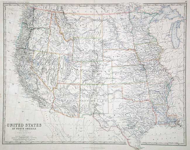
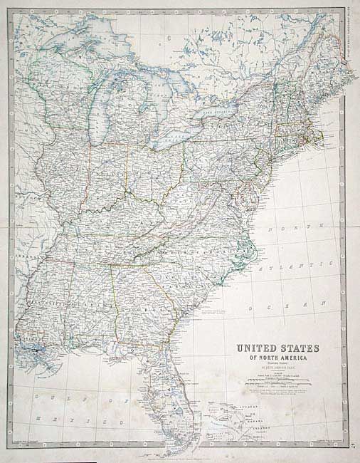
Good group of maps filled with detail of the topography, towns, roads, and railroads. 1) United State of North America -The South Eastern States, by G.H. Swanston, published by A. Fullarton & Co., (20 x 15.7") shows MS, AL, TN, GA, NC, SC and part of FL, VA, WV and KY. Nice outline color with great railroad information. 2) United States of North America - Western States and 3) Eastern States by Keith Johnston, printed color (22.2 x 17.2"). This matched pair of maps shows the railroad network as well as roads.

References:

Condition: B

Swanston map very good. Johnston maps with light foxing and archival tape repairs on centerfolds.

Estimate: $200 - $250

Unsold

Closed on 9/10/2003

Archived