Catalog Archive
Auction 104, Lot 161
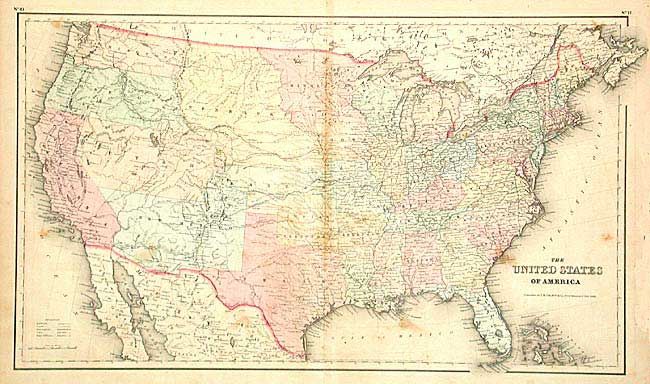
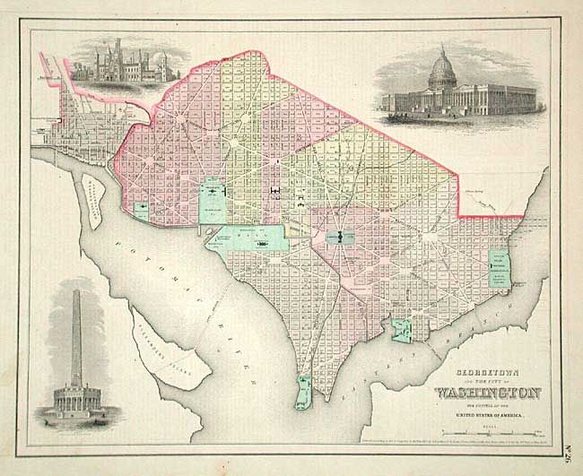
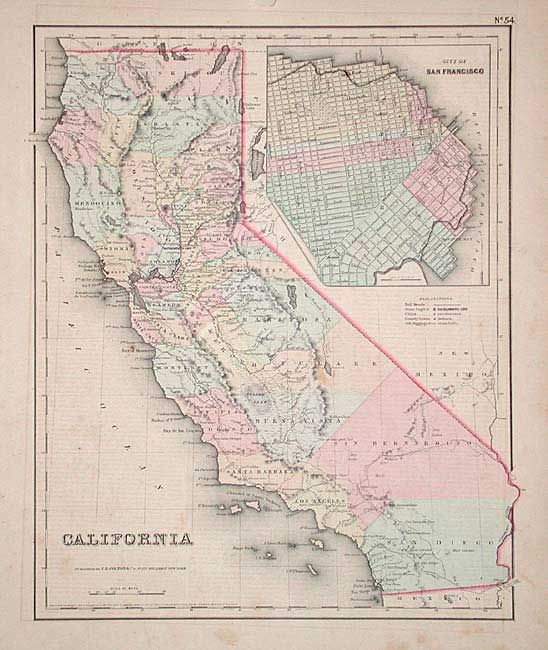
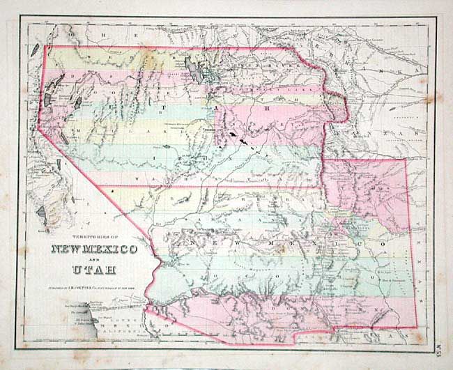
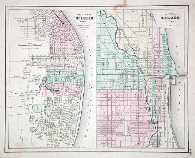
"[Lot of 5]", Colton, Joseph Hutchins

1 of 8
Subject: United States
Period: 1857 (circa)
Publication: General Atlas
Color: Hand Color
Size:
14.7 x 11.7 inches
37.3 x 29.7 cm
Download High Resolution Image
(or just click on image to launch the Zoom viewer)
(or just click on image to launch the Zoom viewer)