Catalog Archive
Auction 104, Lot 159
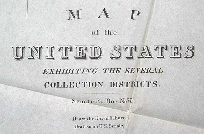
"Map of the United States Exhibiting the Several Collection Districts", Burr, David H.
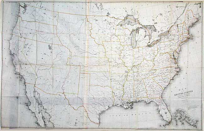
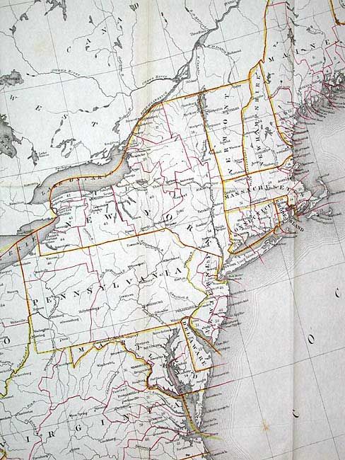
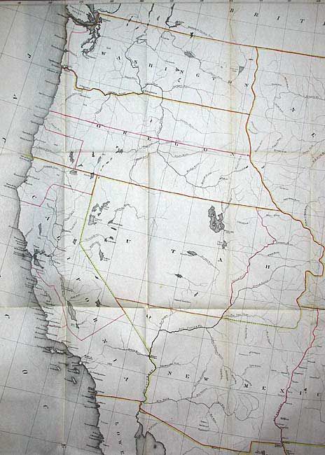
Subject: United States
Period: 1856 (circa)
Publication:
Color: Hand Color
Size:
49 x 31.5 inches
124.5 x 80 cm
Download High Resolution Image
(or just click on image to launch the Zoom viewer)
(or just click on image to launch the Zoom viewer)