Catalog Archive
Auction 104, Lot 158
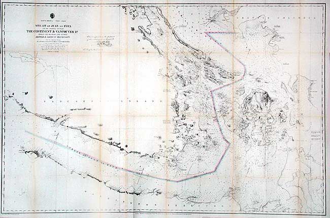
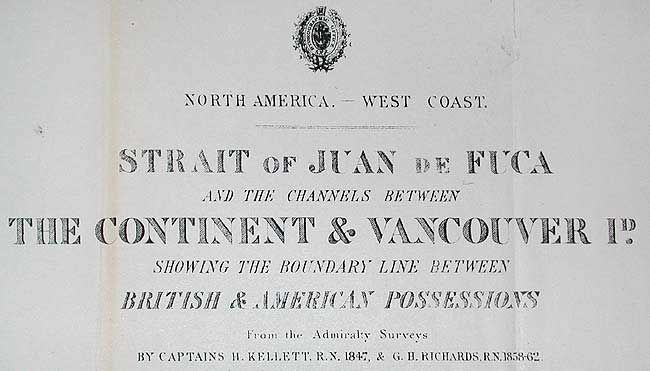
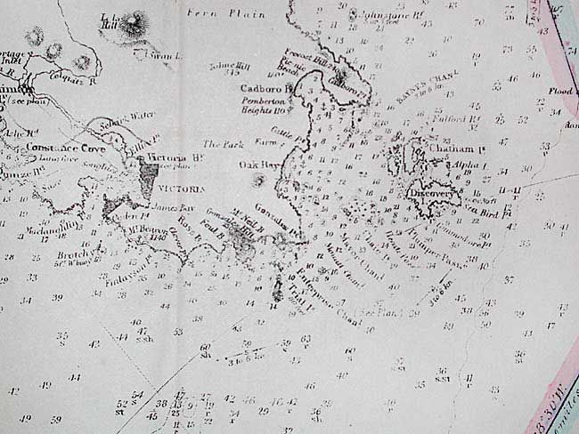
"North America - West Coast: Strait of Juan de Fuca and the Channels Between the Continent & Vancouver Id. Showing the Boundary Line Between British & American Possessions", U.S. Coast Survey
1 of 3
Subject: Washington & British Columbia
Period: 1873 (dated)
Publication: HR misc doc 212, 53rd Cong., 2nd Sess.
Color: Hand Color
Size:
44.7 x 28.7 inches
113.5 x 72.9 cm
Download High Resolution Image
(or just click on image to launch the Zoom viewer)
(or just click on image to launch the Zoom viewer)