Catalog Archive
Auction 104, Lot 106

"[Lot of 2] Amerique Septentrionale", Various

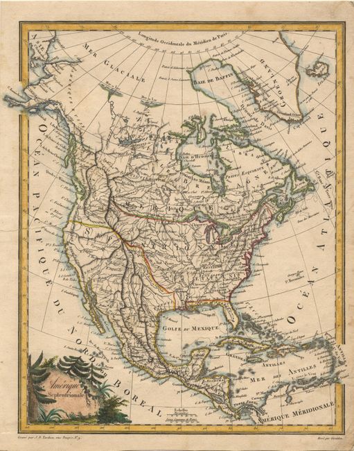
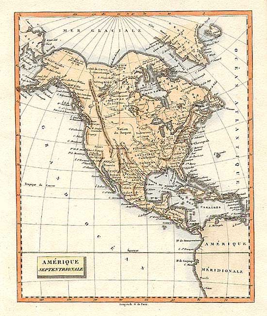
Subject: North America

Period: 1800-09 (circa)

Publication:

Color: Hand Color

Size:
9.5 x 10.7 inches
24.1 x 27.2 cm
Download High Resolution Image
(or just click on image to launch the Zoom viewer)

First is an anonymous French map, circa 1800. It shows an early shape of Alaska and a mostly blank western coast. The Rocky Mountains are shown as a straight mountain range labeled the Stony Mountains out Montagnes de Pierre and the Sierra Azul. No political boundaries are shown, but states, major cities and Indian nations are noted. Second map is by Jean Baptise Pierre Tardieu, circa 1809. It is an attractive small map with good topography - a nice contrast to the first map. The United States is shown with its western boundary undefined, but suggesting the British claims to Oregon Territory. Louisiana is labeled Orleans and Texas is called Potosi. Fully colored title cartouche enclosed in a wooded scene; map in outline color.

References:

Condition:

First fine, Second with old tear entering map at C. Mendocin with repair on verso.

Estimate: $200 - $250

Sold for: $210

Closed on 9/10/2003

Archived