Catalog Archive
Auction 103, Lot 324

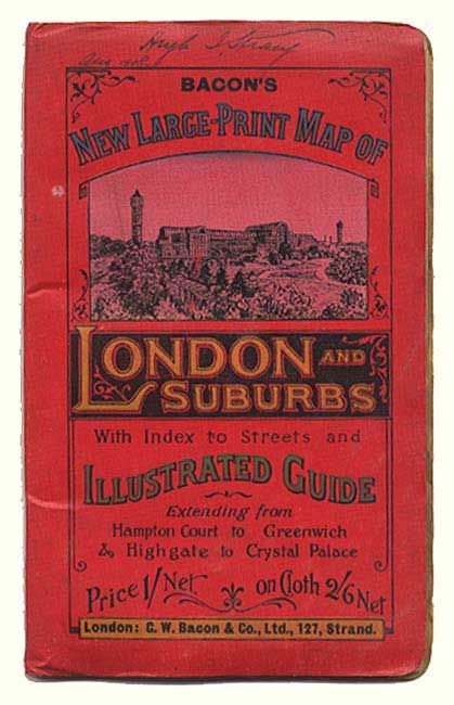
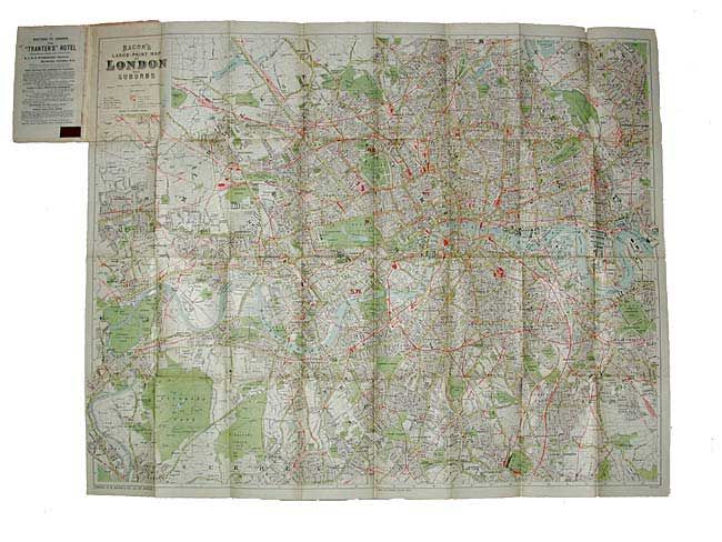
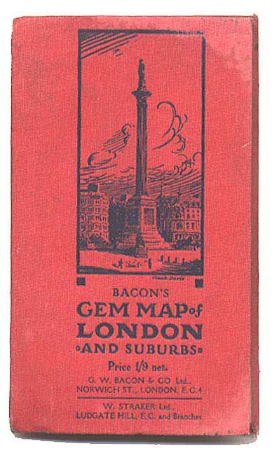
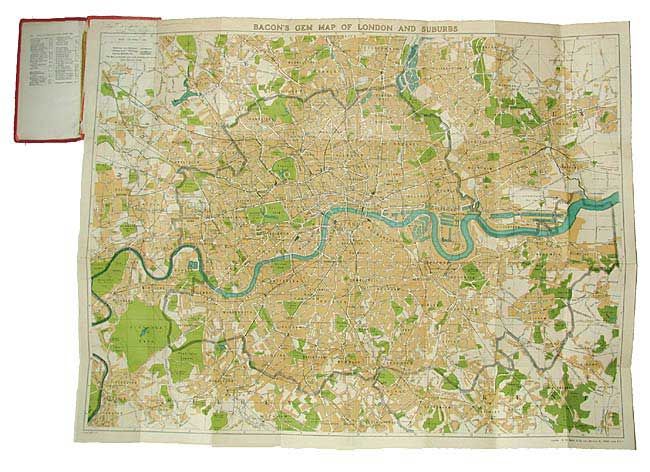
"[Pair] Bacon's Gem Map of London and Suburbs [together with] Bacon's New Large-Print Map of London and Suburbs", Bacon, G. W. & Company

Subject: London, England

Period: 1908-20 (circa)

Publication:

Color: Printed Color

Size:
See Description
Download High Resolution Image
(or just click on image to launch the Zoom viewer)

Nice pair of early 20th century folding maps. Bacon's Gem Map (24 x 18.3'), linen-backed, circa 1920. Covers the region from Kenton to Barking Side to the north of London and from Kingston to Chislehurst in the south. Emphasis on streets, parks, railways and the underground. Folds into cloth covered boards with 32 pp. index. Bacon's New Large-Print Map, (34.5 x 27.2"), c. 1908. Covers from Kingsbury to Leyton in the north and Teddington to South End in the south. Folds into cloth covers with 61 pp. Index.

References:

Condition: A

First with old tape repair of index, a few pencil marks of a previous owner and slight damp stain on cover corner, overall very good. Second near fine.

Estimate: $60 - $80

Sold for: $95

Closed on 6/11/2003

Archived