Catalog Archive
Auction 103, Lot 207
"Mexico, Mittel-America, Texas", Flemming, Carl
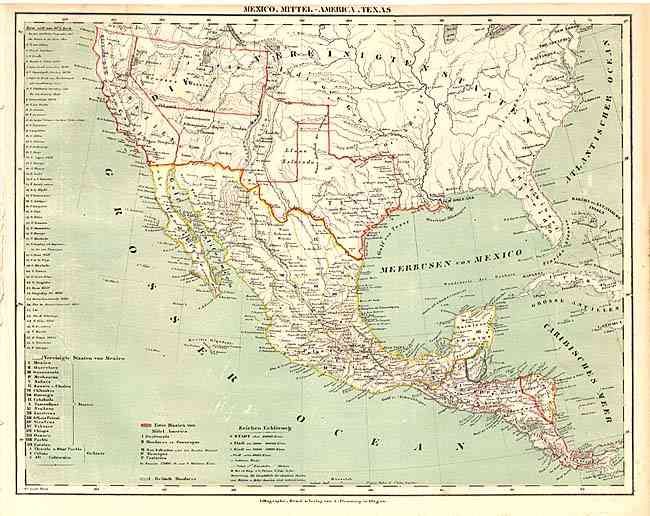
Subject: Southwestern United States & Mexico
Period: 1853 (circa)
Publication:
Color: Hand Color
Size:
16.5 x 13 inches
41.9 x 33 cm
Download High Resolution Image
(or just click on image to launch the Zoom viewer)
(or just click on image to launch the Zoom viewer)