Catalog Archive
Auction 103, Lot 181

"County Map of Michigan and Wisconsin", Mitchell, Samuel Augustus

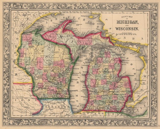
Subject: Michigan & Wisconsin

Period: 1860 (dated)

Publication: General Atlas

Color: Hand Color

Size:
13.2 x 10.7 inches
33.5 x 27.2 cm
Download High Resolution Image
(or just click on image to launch the Zoom viewer)

Lovely map from the first edition of this atlas with delicately engraved floral border. Railroads are now proposed into the northern parts of both states and into the Upper Peninsula. The roads into the U. P. became important to the movement of ore from the mines in the region.

References:

Condition: A

Some marginal spots, otherwise a fine example.

Estimate: $80 - $100

Sold for: $60

Closed on 6/11/2003

Archived