Catalog Archive
Auction 103, Lot 137
"New Railroad Map of Indiana Ohio and part of Illinois", Colton, G.W. & C.B.
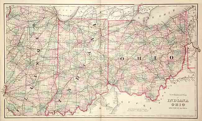
Subject: Central United States
Period: 1875 (dated)
Publication:
Color: Hand Color
Size:
27.4 x 16 inches
69.6 x 40.6 cm
Download High Resolution Image
(or just click on image to launch the Zoom viewer)
(or just click on image to launch the Zoom viewer)