Catalog Archive
Auction 102, Lot 484

"De Molukkische Eilanden, Celebes, Gilolo, enz.", Sanson, Nicolas

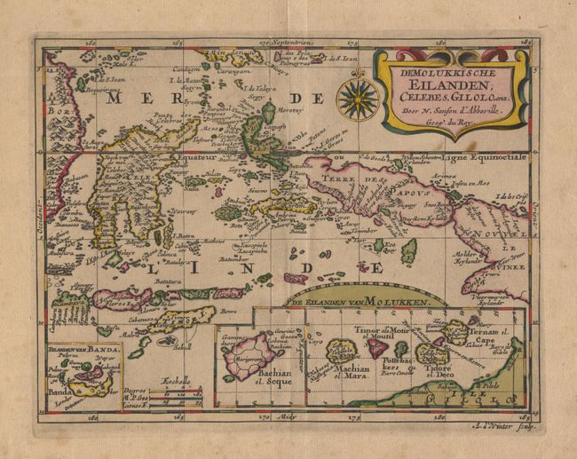
Subject: East Indies - Indonesia

Period: 1683 (circa)

Publication:

Color: Hand Color

Size:
9.6 x 7.2 inches
24.4 x 18.3 cm
Download High Resolution Image
(or just click on image to launch the Zoom viewer)

This is a very unusual map of the East Indies from a scarce pirated Dutch edition that was engraved by Anthony d'Winter and first published in 1683. The map covers the famous Spice Islands and includes insets of Banda, Bachian and the Moluccas. Terre des Papous is rendered as an island separate from New Guinea, following an error that began in the 1590s. The map is beautifully engraved and decorated with a strapwork title cartouche and a compass rose, all highlighted in original color and gold leaf.

References:

Condition: B

Light even toning and some slight foxing in upper right side of map. Some stains, short tear and fold separations in blank margin, closed with archival tape.

Estimate: $300 - $350

Unsold

Closed on 3/5/2003

Archived