Catalog Archive
Auction 102, Lot 475

"Plan of the City of Calcutta", Mason & Payne
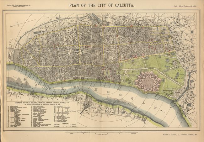
Subject: India

Period: 1890 (circa)

Publication:

Color: Hand Color

Size:
16.5 x 10.5 inches
41.9 x 26.7 cm
Download High Resolution Image
(or just click on image to launch the Zoom viewer)

This map details the city within quarter-mile concentric circles radiating from the General Post Office. This plan extends from Bahar Simleah and Balygunge to Sulkeah and Kidderpoor. Handsomely detailed, with Fort William and its grounds, as well as a reference chart to the public buildings shown.

References:

Condition: A

Light toning, otherwise fine.

Estimate: $70 - $90

Sold for: $50

Closed on 3/5/2003

Archived