Catalog Archive
Auction 102, Lot 429

"Accuratissima Totius Asiae Tabula Recens Emendata", Danckerts, Justus
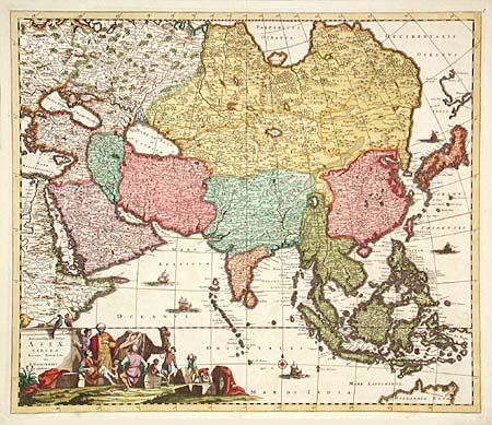
Subject: Asia

Period: 1680 (circa)

Publication:

Color: Hand Color

Size:
22.5 x 19.5 inches
57.2 x 49.5 cm
Download High Resolution Image
(or just click on image to launch the Zoom viewer)

Handsome, large map of the continent and East Indies based on De Wit (c.1675). The extent of European knowledge of the region is vividly depicted with good detail throughout the south and south east reflecting the surveys of the Dutch East India Company, while northern and central Asia is filled mostly with mountains and forests. The work of the Jesuit missionaries is reflected in the well-documented region of China. The large title cartouche includes a busy scene including a Jesuit and traders with their exotic cargo.

References: Yeo #61.

Condition: A+

Expert repair on top fold margin.

Estimate: $1,000 - $1,100

Sold for: $750

Closed on 3/5/2003

Archived