Catalog Archive
Auction 102, Lot 350

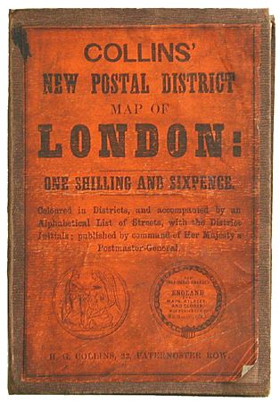
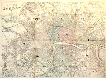
"Collins' New Postal District Map of London", Collins, Henry George

Subject: England - London

Period: 1859 (circa)

Publication:

Color: Hand Color

Size:
28.5 x 21.3 inches
72.4 x 54.1 cm
Download High Resolution Image
(or just click on image to launch the Zoom viewer)

This interesting and very scarce folding map was published circa 1859, which was when the postal codes were established, and probably not later, as it shows Vauxhall Gardens, which were closed in 1860. Extends from Hampstead Heath to Lower Clapton in the north and from Fulham Palace to Depford Newtown in the south. Folding into original cloth covers with paper label, complete with 32 pp. index of street names.

References:

Condition: C

Various separations along folds, some closed with archival tape, with some creases. Text loose from cover. Covers worn. Well deserving of conservation.

Estimate: $250 - $300

Unsold

Closed on 3/5/2003

Archived