Catalog Archive
Auction 102, Lot 31

"[World Railroad Map]", U.S. Government
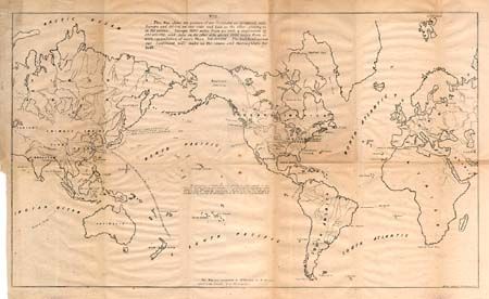
Subject: World

Period: 1845 (published)

Publication:

Color: Black & White

Size:
21 x 12.5 inches
53.3 x 31.8 cm
Download High Resolution Image
(or just click on image to launch the Zoom viewer)

This map was part of a proposal endorsing a transcontinental railroad across the United States. Prepared for Congress, this early railroad 'document' argues that a "railroad across our Continent will make us the centre and thoroughfare for both" Asia and Europe. Shows routes and distances between the continents. Also shows the proposed transcontinental railroad route between the east coast and Portland, Oregon. A rarely seen map. Prepared by Whitney for Mr. Breese's report to the U.S. 29th Congress.

References:

Condition: B

Folding, as issued with some toning in a few panels. Marginal tear with archival tape repair.

Estimate: $120 - $180

Sold for: $130

Closed on 3/5/2003

Archived