Catalog Archive
Auction 102, Lot 199
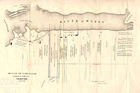
"Sketch of the Claims to Land on the River St. Mary at Pauwayteeg July 6th. 1823", General Land Office
Subject: Michigan
Period: 1823 (dated)
Publication:
Color: Hand Color
Size:
17 x 10.5 inches
43.2 x 26.7 cm
Download High Resolution Image
(or just click on image to launch the Zoom viewer)
(or just click on image to launch the Zoom viewer)