Catalog Archive
Auction 102, Lot 162

"[Western United States]", Andriveau-Goujon, J.

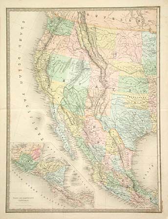
Subject: United States - Western

Period: 1867 (circa)

Publication: Atlas Universel

Color: Hand Color

Size:
18.25 x 24.25 inches
46.4 x 61.6 cm
Download High Resolution Image
(or just click on image to launch the Zoom viewer)

A large and well-detailed map of the states and territories down through Mexico, with Central America included in inset. Oklahoma is named Territoire Indien, and the Dakotas are still one territory. The most interesting division on this map is the erroneous depiction of the boundaries between California, Utah and Arizona. The border between California and Arizona is shown to be the Colorado River all the way to the Virgin River at Utah's border. Nevada takes in that part of California west of the Sierra Nevadas, and its border with Utah is too far to the west. The official boundaries had been established in 1865. However, this map reflects the confusion of various proposals during the preceding five years.

References:

Condition: A

Overall toning, sturdy paper with a couple of spots in the blank margins. Tape repairs on verso.

Estimate: $150 - $200

Sold for: $100

Closed on 3/5/2003

Archived