Catalog Archive
Auction 102, Lot 144
"Map of the Northern, or, New England States of America, Comprehending Vermont, New Hampshire, District of Main, Massachusetts, Rhode Island, and Connecticut", Russell, John C.
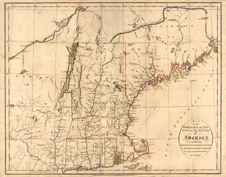
Subject: New England
Period: 1795 (dated)
Publication: Historical, Geographical ...View of the United States
Color: Hand Color
Size:
18.2 x 14.5 inches
46.2 x 36.8 cm
Download High Resolution Image
(or just click on image to launch the Zoom viewer)
(or just click on image to launch the Zoom viewer)