Catalog Archive
Auction 102, Lot 112

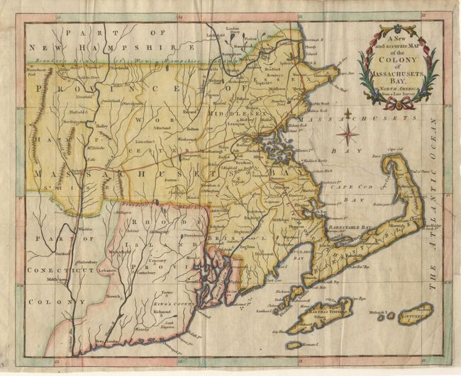
"A New and accurate Map of the Colony of Massachusets Bay, in North America from a Late Survey", Anon.
Subject: Colonial Northeast

Period: 1780 (published)

Publication: Universal Magazine,

Color: Hand Color

Size:
12.8 x 10.2 inches
32.5 x 25.9 cm
Download High Resolution Image
(or just click on image to launch the Zoom viewer)

Nice Revolutionary War era map showing towns and roads. In addition to Massachusetts, the map includes all of Rhode Island and parts of Connecticut and New Hampshire. Handsomely adorned with a wreath-style title cartouche and delicate compass rose. The maps issued in the Universal Magazine are among the best executed and attractive of the British magazine maps. They were issued during a crucial point in history and provided the British public with up-to-date information on the war in America.

References: Jolly, UNIV-190; McCorkle #780-12.

Condition: B

Attractive map with an archivally closed tear which reaches from map edge to Marble Head.

Estimate: $325 - $375

Sold for: $220

Closed on 3/5/2003

Archived