Catalog Archive
Auction 101, Lot 482
"Plan du Port de l'Ile Borabora…", Duperrey, Louis Isidore
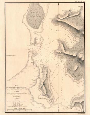
Subject: Tahiti
Period: 1825 (dated)
Publication: Voyage Autour du Monde
Color: Black & White
Size:
14.4 x 19.8 inches
36.6 x 50.3 cm
Download High Resolution Image
(or just click on image to launch the Zoom viewer)
(or just click on image to launch the Zoom viewer)