Catalog Archive
Auction 101, Lot 480

"USAF Cloth Chart - Verkhoyanskiy Range and East Siberian Sea", U.S. Air Force

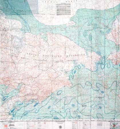
Subject: North Pacific

Period: 1951 (published)

Publication:

Color: Printed Color

Size:
37 x 37 inches
94 x 94 cm
Download High Resolution Image
(or just click on image to launch the Zoom viewer)

Terrific Cold War identification and survival map printed both sides on cloth. Together covers all of Siberia east of the Lena River, across the Bering Sea and into a portion of western Alaska. With a large inset star chart "to assist the navigator", numerous legends including color coding for limits of ice by month, note on ice movement and surface currents. Published by the Aeronautical Chart Service and marked "Restricted".

References:

Condition: A+

Folding as issued. Like new condition.

Estimate: $50 - $70

Sold for: $0

Closed on 12/4/2002

Archived