Catalog Archive
Auction 101, Lot 339

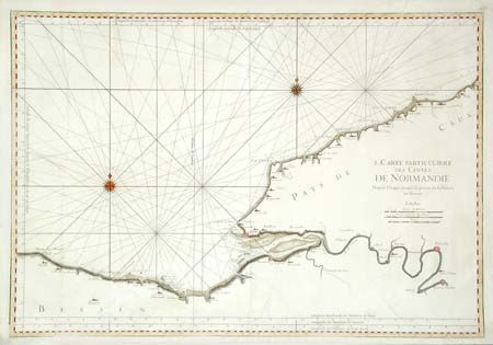
"I. Carte Particuliere des Costes de Normandie Depuis Dieppe jusqu'a la pointe de la Percee en Bessin", Bellin, Jacques Nicolas

Subject: France

Period: 1752 (circa)

Publication:

Color: Hand Color

Size:
33.8 x 23.3 inches
85.9 x 59.2 cm
Download High Resolution Image
(or just click on image to launch the Zoom viewer)

Large map of the Normandy coast covering the region between Virville, Le Havre and Criel, east of Dieppe and including the course of the River Seine to Rouen and Pont de l'Arche. Rhumb lines and two very nice compass roses. A handsome chart with nice coloring.

References:

Condition: B

Dark impression on thick paper with two large watermarks. A few small spots, two repaired tears and a few small creases, still very good for its type.

Estimate: $300 - $350

Unsold

Closed on 12/4/2002

Archived