Catalog Archive
Auction 101, Lot 231
"Carte Reduite de L'Ile de Porto-Rico Comprenant parties des Hes St. Domingue et Saona…", Anon.
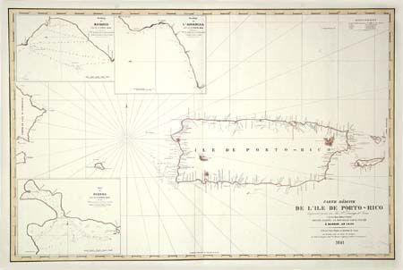
Subject: Greater Antilles
Period: 1841 (dated)
Publication:
Color: Hand Color
Size:
34.5 x 22.5 inches
87.6 x 57.2 cm
Download High Resolution Image
(or just click on image to launch the Zoom viewer)
(or just click on image to launch the Zoom viewer)