Catalog Archive
Auction 101, Lot 199

"Etats-Unis & Mexique", Duvotenay, Thunot

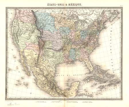
Subject: United States & Mexico

Period: 1848 (published)

Publication: Atlas Universal

Color: Hand Color

Size:
16.7 x 13.2 inches
42.4 x 33.5 cm
Download High Resolution Image
(or just click on image to launch the Zoom viewer)

Beautifully engraved and detailed map shows the newly acquired land in the west. Large Northwest Territory, Indian Territory and Oregon Territory (extending into Canada). Most of the west is labeled Nouvelle California with a pre-Gadsden border and Texas appears with an early shape. Remarkable detail throughout includes Indian names, watershed, railroads, forts, roads, etc. A very nice map that shows a transitional period between the Mexican War and the eventual settlement of the boundary dispute between the U.S. and England.

References:

Condition: A

Crisp, fine impression and very nice coloring on thick paper with wide margins. Split at lower margin outside image.

Estimate: $200 - $300

Sold for: $140

Closed on 12/4/2002

Archived