Catalog Archive
Auction 101, Lot 109
"Carte du Cours du Fleuve de Saint Laurent Depuis la Mer jusqu'a Quebec … II Fueille", Bellin, Jacques Nicolas
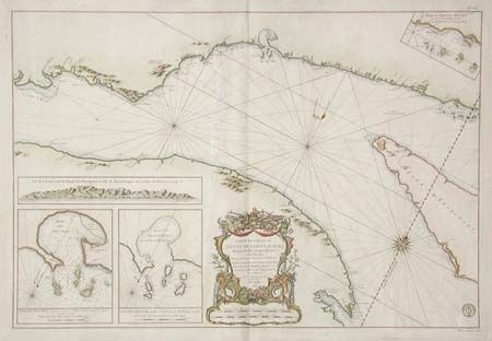
Subject: Canada
Period: 1761 (dated)
Publication: Hydrographie Francoise
Color: Hand Color
Size:
33.3 x 22.5 inches
84.6 x 57.2 cm
Download High Resolution Image
(or just click on image to launch the Zoom viewer)
(or just click on image to launch the Zoom viewer)