Catalog Archive
Auction 101, Lot 103
"Partie Meridionale de la Virginie, et la Partie Orientale de la Floride dans l'Amerique Septentrionale", Aa, Pieter van der
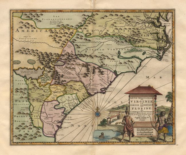
Subject: Colonial Southeast
Period: 1729 (published)
Publication: La Galerie Agreable du Monde
Color: Hand Color
Size:
14 x 11.2 inches
35.6 x 28.4 cm
Download High Resolution Image
(or just click on image to launch the Zoom viewer)
(or just click on image to launch the Zoom viewer)