Catalog Archive
Auction 100, Lot 94

"[Lot of 6 Maps]", Various

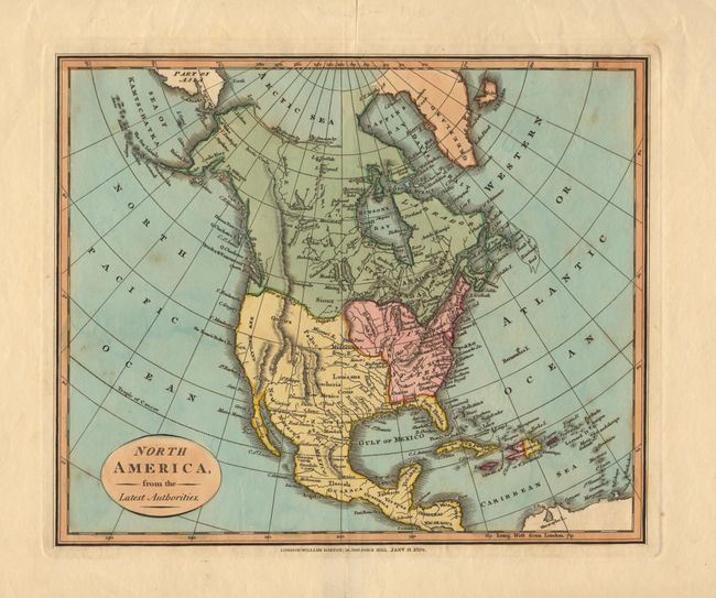
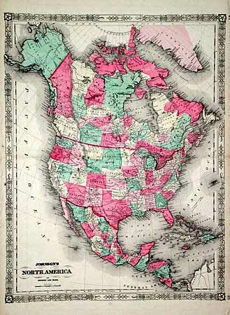
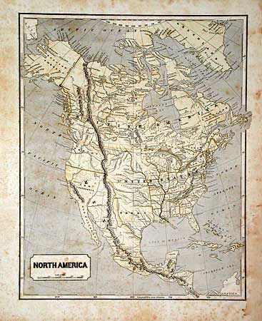
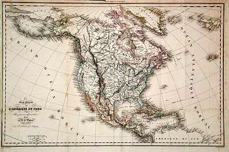
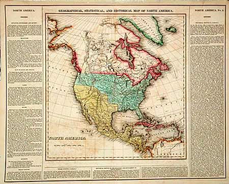
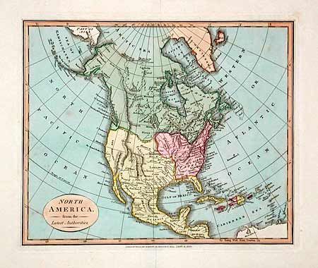
Subject: North America

Period:

Publication:

Color: Hand Color

Size:
See Description
Download High Resolution Image
(or just click on image to launch the Zoom viewer)

Very interesting lot that shows the development of North America from 1822 through 1863. Details the changes due to the Mexican War, the border dispute with England, the Republic of Texas, and the creation of western territories and states. Lot includes the Geographical, Statistical, and Historical Map of North America, Carey & Lea, 1822, 13.3x13.7" (text at sides); North America from the Latest Authorities, William Darton, 1829, 10.8x9"; North America, Morse/Harper Bros., 1842, 12x15"; Carte Generale de L' Amerique du Nord et des Iles qui en dependent, Dufour, 1854, 19.5x12.5"; North America, J.H. Colton, 1857, 12x15"; and Johnson's North America, Johnson & Ward, 1863, 16.5x22". A great lot of six maps.

References:

Condition: B

Conditions vary, but generally good with some scattered foxing.

Estimate: $500 - $600

Sold for: $500

Closed on 9/12/2002

Archived