Catalog Archive
Auction 100, Lot 447

"Guineae Nova Descriptio", Hondius, Jodocus

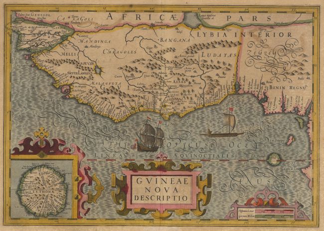
Subject: Africa - Western

Period: 1606 (circa)

Publication: Mercator's Atlas

Color: Hand Color

Size:
19.5 x 13.8 inches
49.5 x 35.1 cm
Download High Resolution Image
(or just click on image to launch the Zoom viewer)

Great map of the western Africa from Senegal, Rio Senega, to Cape Lopez on the Gulf of Guinea just below the equator. The map reflects the Portuguese exploration and settlement in the region and includes a large inset of the Island of St. Thomas. Beautifully embellished in Hondius' florid engraving style with strapwork title cartouches and a Portuguese ship and native sailing boat. Text on verso.

References: Norwich #316.

Condition: B

Fine original color. Overall toning and light foxing, mostly in margins.

Estimate: $600 - $700

Sold for: $400

Closed on 9/12/2002

Archived