Catalog Archive
Auction 100, Lot 237
"Algemeene Kaart van de Westindische Eilanden", Tirion, Isaac
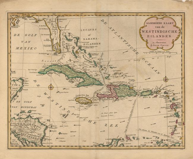
Subject: Caribbean
Period: 1760 (circa)
Publication: Nieuwe en Beknopte Land Atlas
Color: Hand Color
Size:
17.8 x 13.6 inches
45.2 x 34.5 cm
Download High Resolution Image
(or just click on image to launch the Zoom viewer)
(or just click on image to launch the Zoom viewer)