NO RESERVE
"The Printed Maps of Jamaica Up to 1825", Kapp, Kit S.
Subject: References, Jamaica
Period: 1968 (published)
Publication:
Color: Black & White
Size:
7.3 x 9.8 inches
18.5 x 24.9 cm
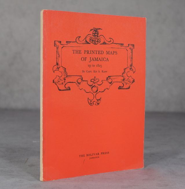
This is a reprint of Captain Kit S. Kapp's Map Collector's Circle #42, an essential cartobibliography for collectors of Jamaica maps. It features an introduction, preface, historical chronology, and black & white illustrations. The cartobibliography includes 153 maps published between 1528 and 1825. Bright red illustrated soft covers. 36 pp. plus 33 b&w plates.
Captain Kit S. Kapp was a ship captain who explored the Caribbean, Central America, and northern South America. Kapp collected many things during his lifetime, and his favorite collection was of antique maps. He eventually turned his map collection into a business, buying and selling maps all over the world. Kapp's love of maps also led him to become a cartographer and he published 8 sailing charts of the waters around Honduras, Panama, Colombia, Venezuela, and the British Virgin Islands. To read the full story of Captain Kapp's life, please read the article from our January 2015 newsletter.
References:
Condition: B+
Contents are very good with slightly creased corners at bottom. There are a couple light stains near spine on the back covers and tiny chips to spine at top and bottom.