Catalog Archive
Auction 196, Lot 574
"De Beschryving van de Reysen Pauli, en van de Andere Apostelen met Deszelfs Landen en Koningryke daar zy het Evangelium Gepredikt Hebben", Jagen, Jan van
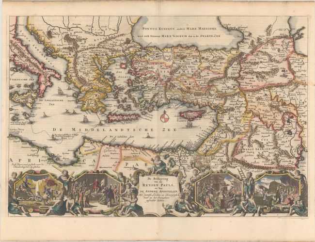
Subject: Eastern Mediterranean & Middle East
Period: 1748 (circa)
Publication:
Color: Hand Color
Size:
17.7 x 11.9 inches
45 x 30.2 cm
Download High Resolution Image
(or just click on image to launch the Zoom viewer)
(or just click on image to launch the Zoom viewer)