Catalog Archive
Auction 196, Lot 352

"A Map of Chili, Patagonia, La Plata and ye South Part of Brasil", Moll, Herman

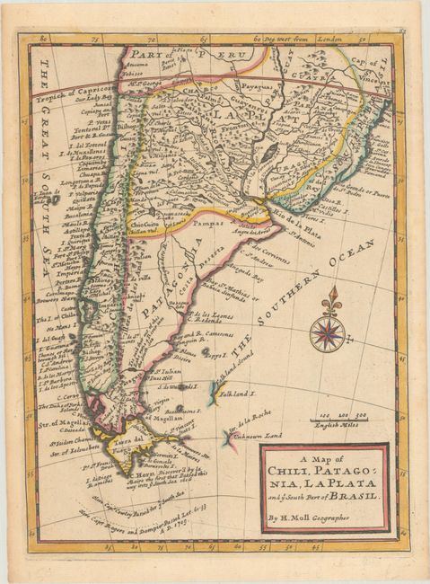
Subject: Southern South America

Period: 1737 (published)

Publication: Modern History

Color: Hand Color

Size:
8.1 x 11 inches
20.6 x 27.9 cm
Download High Resolution Image
(or just click on image to launch the Zoom viewer)

This detailed copper engraved map of the southern part of South America includes Tierra del Fuego, Le Maire Strait, and a partial outline of the Falkland Islands. The routes around the southern tip of Cowley and Dampier and Rogers are noted. The map is decorated with a simple block style title cartouche and a compass rose. Published in Thomas Salmon's Modern History.

References: McCorkle (18th C. Geography Books) #346.

Condition: A

A nice impression with contemporary color on a sheet with a Strasburg lily watermark and light toning along the edges of the sheet.

Estimate: $200 - $230

Sold for: $120

Closed on 2/7/2024

Archived