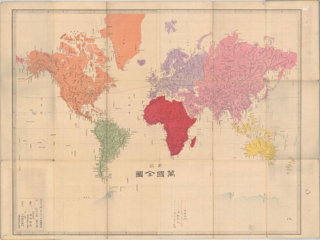
"[Shinsen Bankoku Zenzu - New Edition - Map of the World]",
Subject: World
Period: 1885 (circa)
Publication:
Color: Hand Color
Size:
23.9 x 18.8 inches
60.7 x 47.8 cm
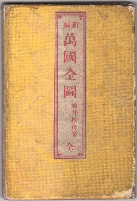
This boldly-colored Japanese map of the world is drawn on Mercator's projection and presents good detail of river systems and topography. In the United States, there are some odd western territorial configurations given the estimated date of the map including a large Utah Territory encompassing western Colorado (formed in 1861), and a massive Montana Territory containing Idaho (formed in 1863) and Wyoming (formed in 1868). A legend at bottom identifies various shipping routes connecting Japan to mainland Europe, England, and the United States, and a transcontinental railroad across the U.S. links the Atlantic and Pacific ocean routes. Significant port cities labelled on the map include Marseille, Naples, Penang, Singapore and Saigon. Published by Kobayashi Kiemon in Tokyo. Self-folding in cloth-covered boards (4.3 x 6.5").
References:
Condition: B+
Issued folding with a few minor splits at the fold junctions with tiny loss at one fold. There is some minor paper tape residue in the top right blank margin. Covers are moderately worn and soiled.