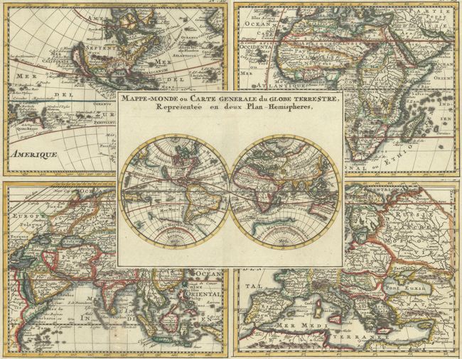
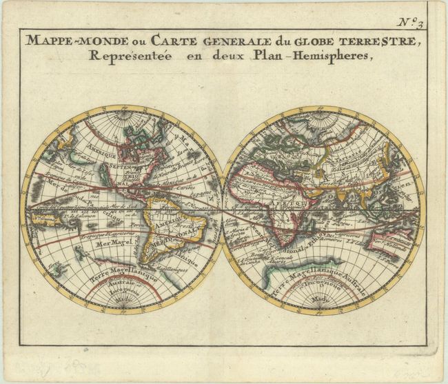
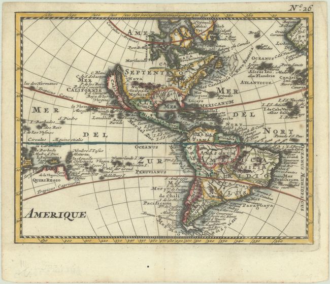
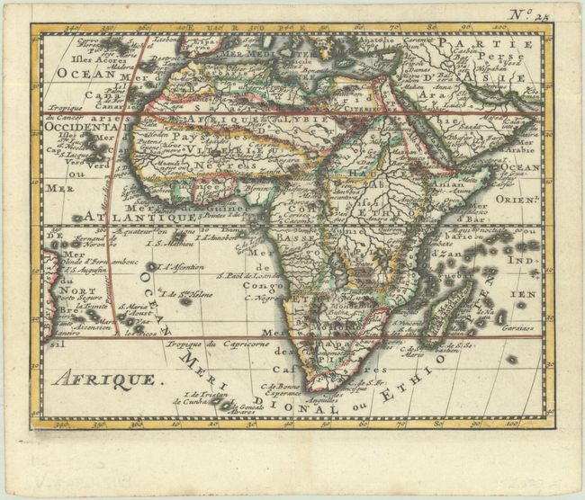
"[Lot of 5] Mappe-Monde ou Carte Generale du Globe Terrestre, Representee en Deux Plan-Hemispheres [and] Amerique [and] Afrique [and] L'Asie [and] Europe", Bossuet, Jacques Benigne
Subject: World & Continents
Period: 1755 (circa)
Publication: Discours sur l'Histoire Universelle…
Color: Hand Color
Size:
6.6 x 5.2 inches
16.8 x 13.2 cm
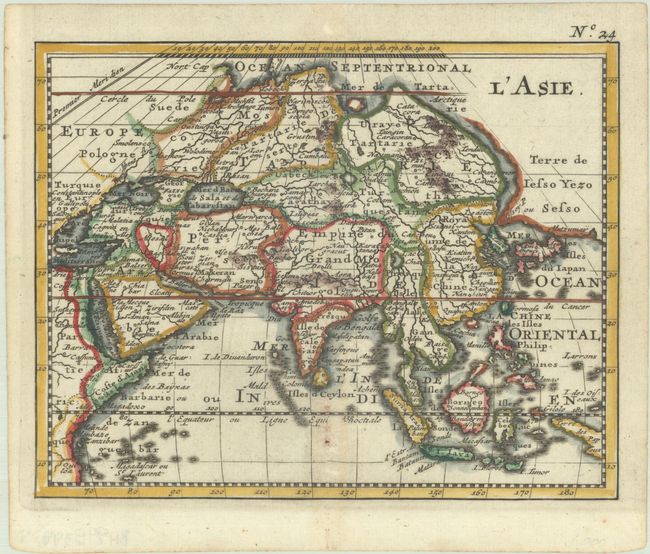
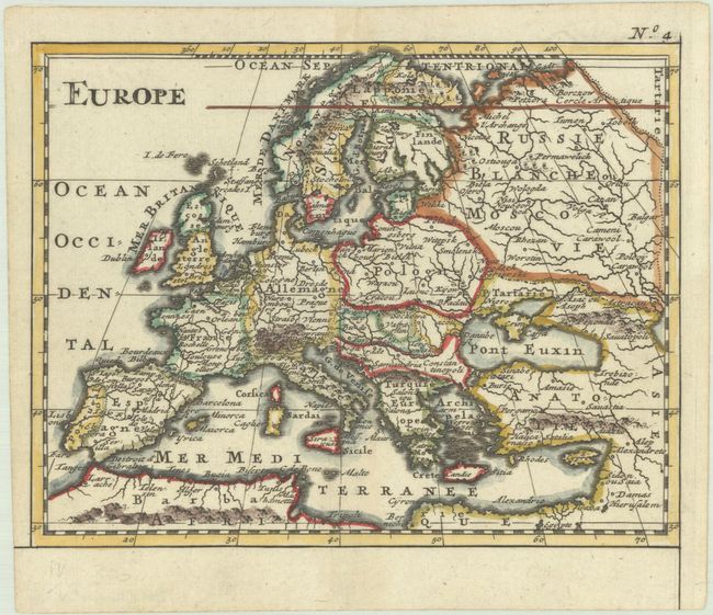
This is an uncommon set of world and continent maps. The maps from the popular Discours sur L'Histoire Universelle were modeled on Nicolas Sanson's cartography. On the world map, California is shown as an island with the disembodied Iesso als Ieco landmass stretching nearly to Japan. At the South Pole there are still remnants of Terre Magellanique Australe et Incogneue which nearly connects with a partial coastline of New Zealand. New Guinea is shown in approximately its correct position. The Americas map reflects different cartography without the Jesso landmass between North America and Asia or the spurious Southern Continent. Tierra del Fuego is correctly shown as an island and Le Maire Strait is depicted. In the South Pacific, there is a partial coastline labeled Quiri Regio and there is no sign of New Zealand. Both the world and Americas maps show the short-lived N. Danemarck or Dania Nova west of Hudson Bay. On the map of Asia, a large Terre de Iesso Yezo Seso reappears north of Japan, the mythical Lac de Chiamay is shown as the source of four major rivers, and the Caspian Sea is oriented horizontally. These maps present an interesting comparison of the state of cartographic knowledge in the mid-18th century. Sizes vary slightly.
References:
Condition: A
Dark impressions on bright sheets. The maps of the world and Asia each have a couple of small holes that have been professionally infilled.