First Clason Road Atlas
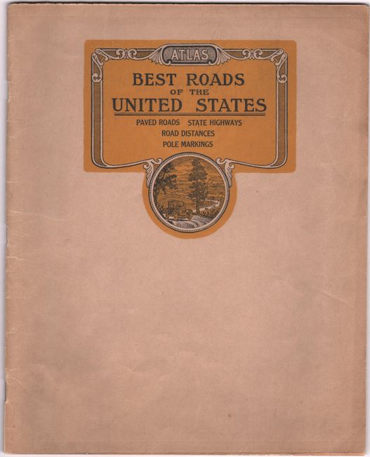
"Atlas Best Roads of the United States", Clason Map Company
Subject: Road Atlas
Period: 1923 (circa)
Publication:
Color: Printed Color
Size:
9.1 x 11.4 inches
23.1 x 29 cm
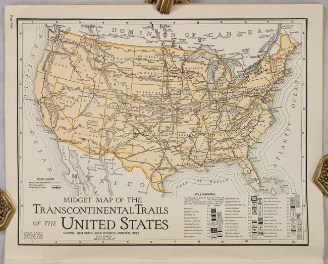
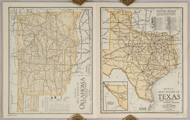
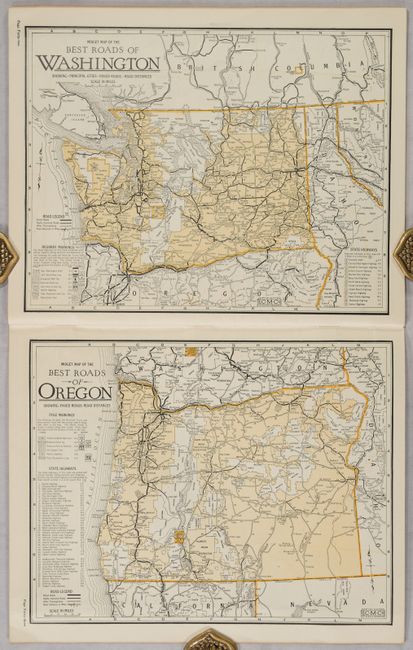
This is the Clason Map Company’s first commercial road atlas and it features 44 single-page maps of states and regions. Each begins with title “Midget Map of Best Roads…” and have legends showing pole markings, various highways, and road types. In addition to the maps, there is an index by state with 1920 census data, a description of maps, and title page which calls on the reader to “let us follow the lure of the open road that offers health, happiness and a better understanding.” Paper wrappers with small illustration on front wrapper.
The atlas was advertised as “Nothing Like it Has Ever Been Published Before.” An article (click here) suggests validity of the claim as earlier road atlases by George Cram were overprinted on railroad maps and rudimentary while the Clason atlas consisted of brand new maps showing more detailed road networks as well as mileage.
We found no past sales records and 6 institutional examples on OCLC.
References:
Condition: A
The maps are very clean, bright and fine. Title page is moderately toned. Paper covers have light wear.