"The Family Atlas of the Society for the Diffusion of Useful Knowledge", SDUK Society for the Diffusion of Useful Knowledge
Subject: Atlases
Period: 1845 (published)
Publication:
Color: Hand Color
Size:
14 x 16.8 inches
35.6 x 42.7 cm
The beginning of the nineteenth century saw a period of rapid market growth and innovation in the map publishing world. Increased literacy and public interest in new frontiers and colonies overwhelmed the market because it was oriented toward the small, affluent market of the previous century. With the intent to fill this void, The Society for the Diffusion of Useful Knowledge (SDUK) was founded in 1828 in London, by Lord Brougham and a group of men dedicated to the education of the aspiring working class and the Utilitarian ideal of 'Knowledge is Power.' The society produced an array of education materials, but the series of maps was one of their most successful ventures. A number of engravers and printers were used to produce the maps, which eventually exceed 200 sheets, and continued to be published after the Society as a whole ceased to function.
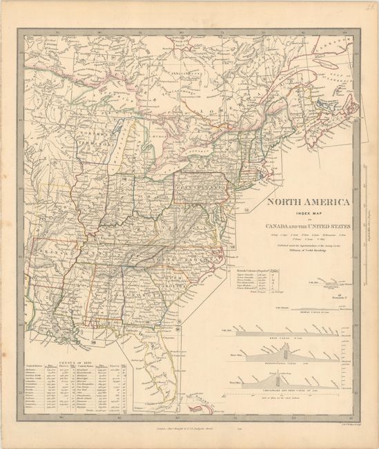
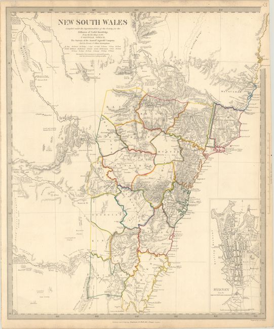
This atlas includes 54 map plates of every region around the world. Included are maps of the eastern and western hemispheres, the ancient world (the only double-page map in the volume), the North Pole, 5 of North America, 2 of South America, 11 of Asia, 3 of Africa, 25 of Europe, and 3 of Australia. The only city plan included in the volume is that of London. The volume begins with a title page and list of contents, and ends with an extensive 39-page index to place names.
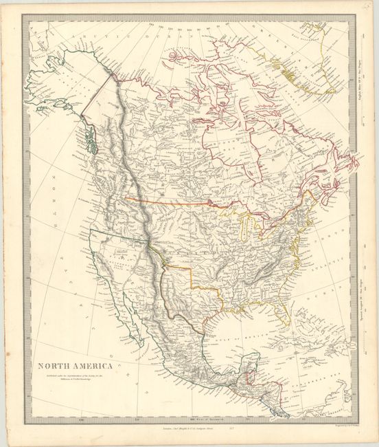
The map of North America depicts the Southwest prior to Mexico losing the region in the Mexican/American War and an Independent Texas. The boundary between Canada and the United States is left incomplete, leaving the ownership of Oregon Territory (here labeled Columbia) unknown, which is unusual for a British map. Filled with well-developed topography, the map names numerous forts, trading posts, Indian tribes, and locates L. Youla roughly near the Great Salt Lake with the American Fur Depot on its eastern shore. The R. Buenaventura extends to the Pacific from two branches, one originating from a large swamp in the Great Basin. The course of the Snake River is fairly accurate, but the Colorado River originates too far north and rushes to the Sea of Cortez in a straight line. Locates the 3 buttes in present-day Idaho -- important landmarks on the Oregon Trail.
Hardbound in quarter black leather with tips over green cloth-covered boards. Spines have five raised bands and gilt titling and tooling. The volume is complete but all of the maps are disbound. (Read our article about the SDUK here.)
References:
Condition: B+
The maps have contemporary outline color, light soiling, and occasional toning. The maps are all disbound from the binding. There is scattered foxing on the title page and front and back free-endpapers. The front hinge is perished. The covers are work and abraided with bumped corners. The spine is also worn and partially detached. As the contents are all in very good condition, this atlas would benefit from professional binding.