Catalog Archive
Auction 195, Lot 674

"Carte de la Terre Sainte Divisee Selon les Douze Tribus d'Israel ou sont Exactement Marquez les Voyages de Iesus-Christ &c...", Mortier, Pierre
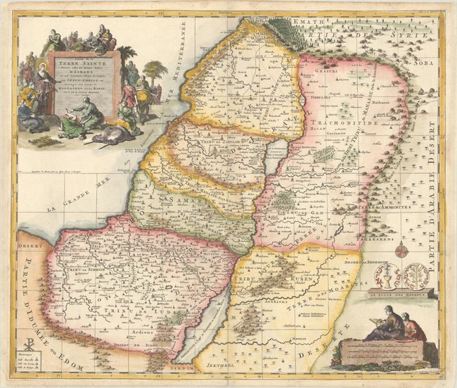
Subject: Holy Land

Period: 1705 (circa)

Publication: Atlas Antiquus

Color: Hand Color

Size:
18.6 x 15.8 inches
47.2 x 40.1 cm
Download High Resolution Image
(or just click on image to launch the Zoom viewer)

Decorative and detailed map of the region covering present-day Israel and Jordan. The map shows the Holy Land divided among the Twelve Tribes, with the travels of Jesus Christ indicated by lightly dotted lines. The pictorial title cartouche includes a scene of Jesus healing the sick and the distance scale is surmounted by two cartographers. Just above the distance cartouche is a rendering of both sides of a shekel coin. Engraved by J. van Luchtenburg.

References: Laor #222.

Condition: A

A sharp impression on a bright sheet with a Strasbourg bend & lily watermark and archival repairs along the edges of the sheet.

Estimate: $180 - $210

Sold for: $190

Closed on 11/15/2023

Archived