Catalog Archive
Auction 195, Lot 557

"Nova et Accurata Geographica Delineatio Ducatus Teschenensis in Silesia Superiore cum Finitimorum Hungariae et Poloniae Regnorum...", Seutter/Lotter

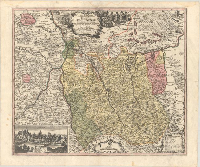
Subject: Southern Poland, Czech Republic & Slovakia

Period: 1740 (circa)

Publication:

Color: Hand Color

Size:
22.9 x 19.4 inches
58.2 x 49.3 cm
Download High Resolution Image
(or just click on image to launch the Zoom viewer)

This map is centered approximately on Cieszyn, Poland and extends as far north as Racibórz and Bieruń. The Olza, Odra and Vistula Rivers are prominently depicted, and the mountainous topography is rendered as three-dimensional. A panoramic view of Cieszyn is at bottom left. The map is adorned with three strapwork cartouches, with merchants negotiating for wares adjacent to the title cartouche.

References:

Condition: A

A sharp impression with full contemporary color on a bright sheet with some soiling and dampstains confined to the blank margins.

Estimate: $275 - $350

Unsold

Closed on 11/15/2023

Archived