Catalog Archive
Auction 195, Lot 536
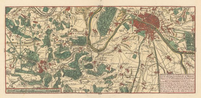
"Nieuwe Kaart van Parys en Versailles met de Nabygelegen Landstreek en Plaatsen", Tirion, Isaac

1 of 2
Subject: Paris, France
Period: 1756 (dated)
Publication: Nieuwe en Beknopte Hand Atlas
Color: Hand Color
Size:
15 x 6.9 inches
38.1 x 17.5 cm
Download High Resolution Image
(or just click on image to launch the Zoom viewer)
(or just click on image to launch the Zoom viewer)