"Les Frontieres de France et des Pais Bas, ou se Trouvent le Comte de Flandre, et la Plus Grande Partie de Ceux d'Artois de Hainaut et de Namur...", Fer, Nicolas de
Subject: Low Countries, Atlases
Period: 1710 (circa)
Publication:
Color: Black & White
Size:
10.8 x 15.4 inches
27.4 x 39.1 cm
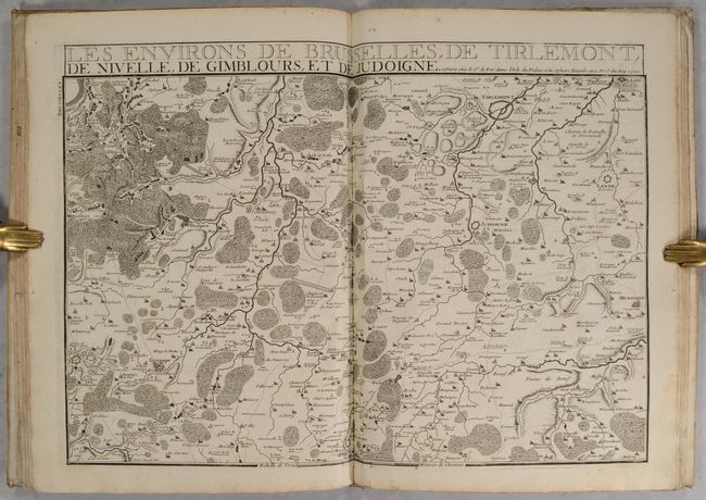
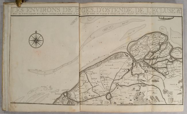
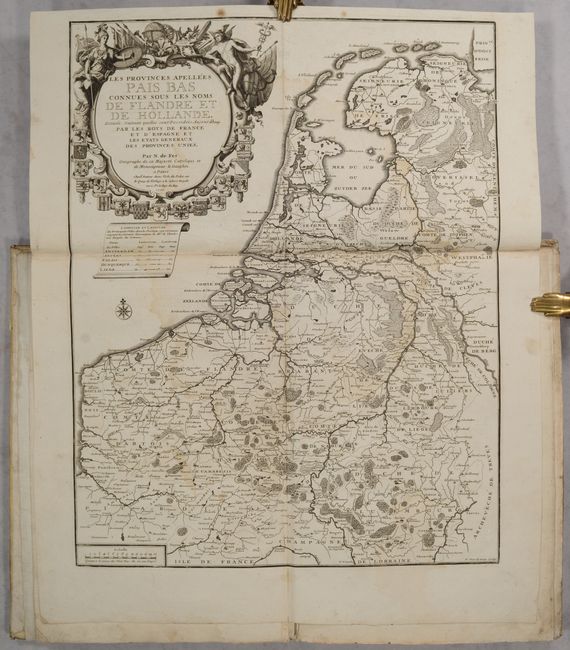
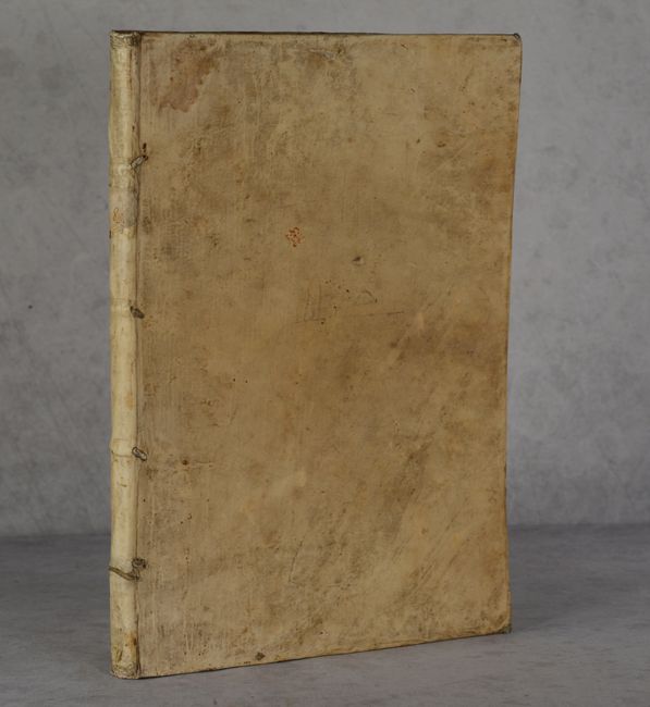
This atlas of the Low Countries includes 23 folio maps (out of 25), with one larger folding map of the Low Countries, and the remaining maps showing individual regions, which could be combined to create a large wall map. As such a large wall map was not practical for army officers, the individual sheets were also bound into a portable atlas, as with this example. Each regional map is highly detailed, showing fortified cities, roads, tiny towns, topography, rivers, and canals. The two missing maps are Le Duche de Luxembourg and Pais Bas Catoliques Connues sous le Nom de Flandre. The atlas includes a lovely frontispiece engraved by P. Starckman and decorated with symbols of war, river gods representing the Rhine and the Meuse, and coats of arms. Hardbound in full contemporary vellum.
References: Pastoureau, FER X A; Shirley (BL Atlases) T.FER-4a.
Condition:
Most of the maps (15) are in very good condition (B+) with light soiling, minor foxing, and dampstains confined to the blank margins. Eight of the maps are in good condition (B) with light toning, foxing, soiling, and dampstains within the image. The map of the region around Charleville has some holes along a fold at right that have been archivally repaired, with some loss of image. The frontispieces has dampstains and light soiling. The covers are worn and soiled with bumped corners but still well intact.