"Geographical Annual or Family Cabinet Atlas", Starling, Thomas
Subject: Atlases
Period: 1832 (published)
Publication:
Color: Hand Color
Size:
4.5 x 6.9 inches
11.4 x 17.5 cm
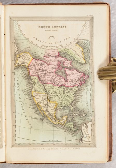
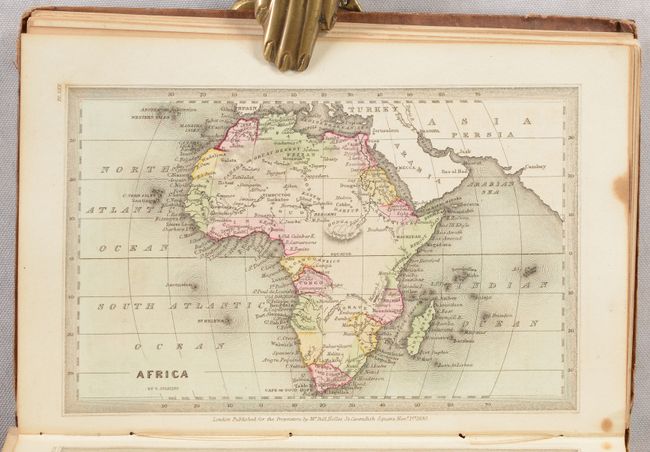
This very popular Victorian miniature atlas includes 46 single-page. Maps include the world (3), Europe (21), Asia (6), Oceania (2), Africa (4), North America (6), and South America (4). The map of the United States shows a large Arkansas Territory extending into present-day Oklahoma and a huge Missouri Territory extending north into British Columbia, reflecting U.S. interests in the region. A key to points of interest on each map can be found on the facing page. A beautiful steel engraved title page features a small globe at center, and is followed by the preface, table of contents and plates. 18 mo. Complete, hardbound in brown cloth.
References:
Condition: B
Maps have contemporary color and are good to very good with some light toning and foxing. Several maps have separated from the text block and the signature stiches are quite loose. Covers have light wear with bumped edges.