"Neuester Schul-Atlass nach den Bewahrtesten Hulfsmitteln...", Walch, Johannes
Subject: Atlases
Period: 1818 (published)
Publication:
Color: Hand Color
Size:
10.9 x 8.8 inches
27.7 x 22.4 cm
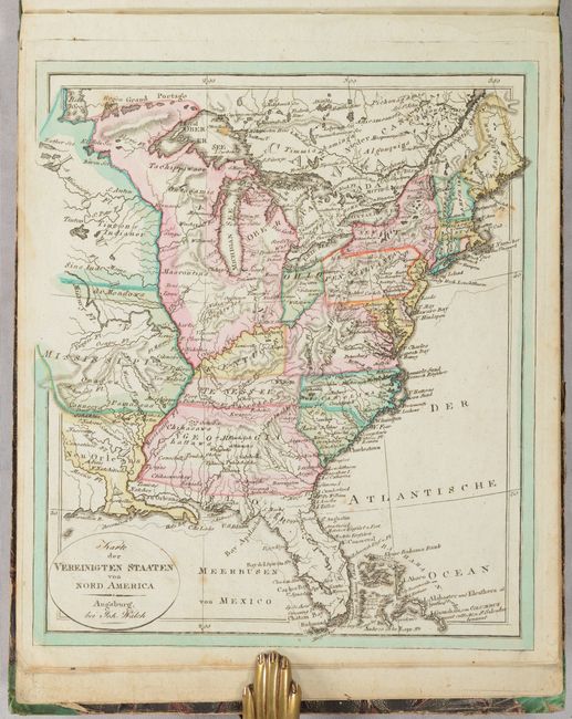
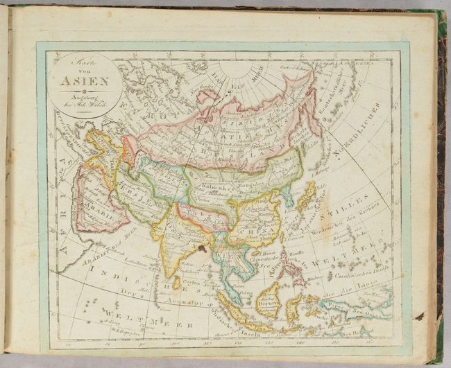
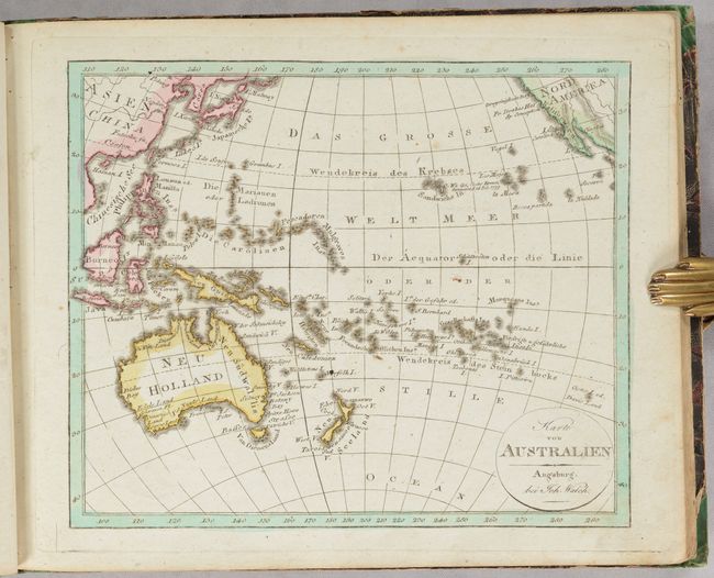
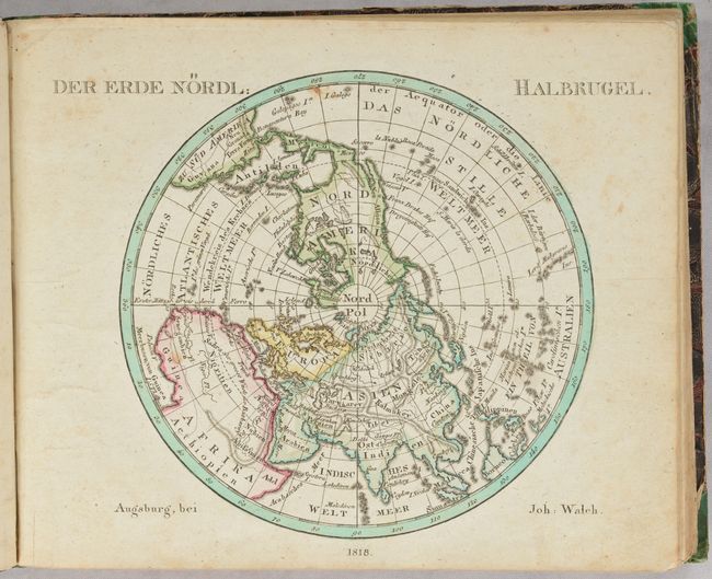
This complete German school atlas contains 35 single-page maps of the world (3), Americas (6), Europe (21), Asia (2), Africa (2), and Australia (1). Karte der Vereinigten Staaten von Nord America covers the eastern United States with a large Indiana Territory covering the region to the north of the Ohio River and west to the Mississippi River. The region to the west of the Mississippi River is labeled Louisiana along with a large Mississippi in the vicinity of today's Missouri and a large New Orleans in today's Lousiana. Karte von Nord America presents good detail of topography and drainage and features and is notable for its odd, meandering boundary with Canada. In the far Northwest, Alaska is coming into shape with the Aleutian islands presented in an inset. The atlas features two polar maps, a map of the ancient world, as well as maps of all the continents. Rebacked over original marbled boards.
References:
Condition: B+
The maps are very good with some light foxing and soiling. Title page is moderately soiled and stained. Covers are scuffed and worn.