Catalog Archive
Auction 193, Lot 338

"A New Map of the Island of Jamaica", Moll, Herman
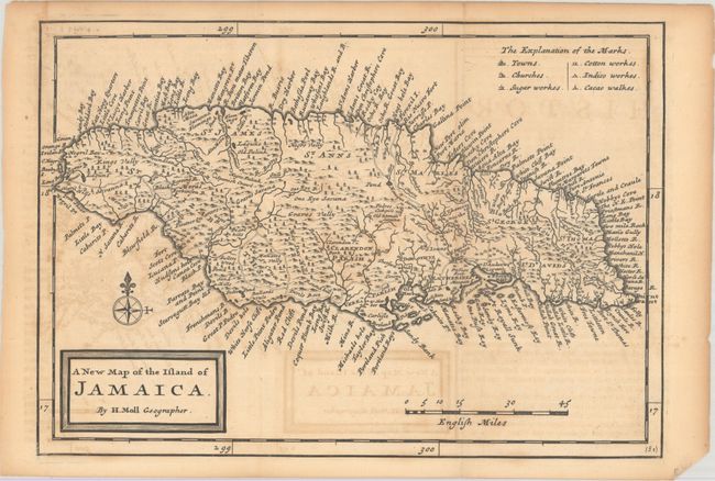
Subject: Jamaica

Period: 1717 (published)

Publication: Atlas Geographus...

Color: Black & White

Size:
10.3 x 7.2 inches
26.2 x 18.3 cm
Download High Resolution Image
(or just click on image to launch the Zoom viewer)

A detailed map of the island locating scores of towns and coastal place names, roads, mountains and forests. The island is divided into the English system of parishes and a legend at top right identifies factories for sugar, cotton, indigo and cocoa. Decorated by a simple block-style title cartouche.

References: Shirley (BL Atlases) T.Moll-3a #96.

Condition: B

Issued folding with light offsetting, scattered foxing, and toning along the sheet edges.

Estimate: $180 - $220

Sold for: $130

Closed on 6/21/2023

Archived