First Edition of this Innovative Map
"Map of the City of San Diego and Coronado",
Subject: San Diego, California
Period: 1927 (dated)
Publication:
Color: Printed Color
Size:
17 x 12 inches
43.2 x 30.5 cm
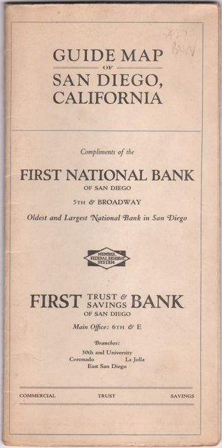
This remarkable map of San Diego by Fred Bain is drawn on a circle with a stiff paper location indicator centered on a metal rivet. It extends from La Jolla, Mission Bay, and Point Loma east to downtown with a legend locating railroads, street car lines, and bus routes. The circle surrounding the city has 162 numbers and the locating pointer contains the full alphabet, and combining the two determines an exact location for the detailed street index on verso. Issued compliments of the First National Bank, which is prominently located in red overprinting. Self-folding (4.3 x 8.8”). We found no past sales records or institutional examples for this first edition and only two examples for a later edition map on OCLC.
References:
Condition: B+
Issued folding on stiff paper with two short fold separations along the left sheet edge.